Do your no rain dance now! Rain to potentially threaten some parades later this week. Here’s the forecast from Meteorologist Scot Pilié:
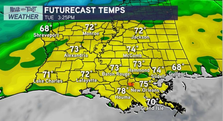
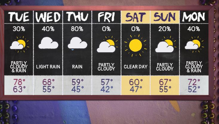
A strong cold front is on the way! Ahead of the front, dense fog likely Monday night into Tuesday morning. High temperatures Tuesday will climb into the mid-upper 70s. An isolated 20-30% chance of a spotty shower.
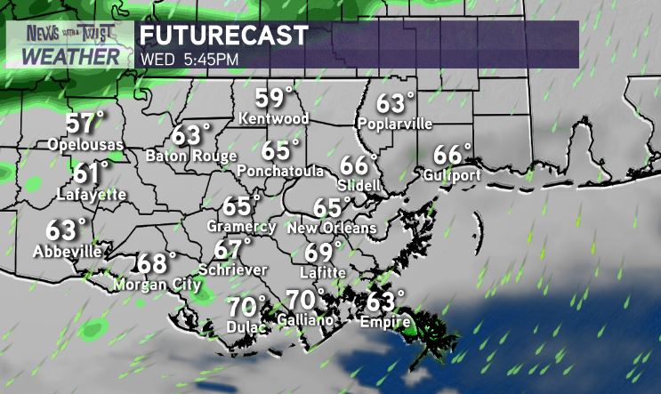
The cold front will start to move through Wednesday morning, with highs only in the mid-upper 60s on Wednesday. Rain chance of 30-40%. Still, as it stands now, only a few spotty showers & patchy mist possible for Wednesday night parades!
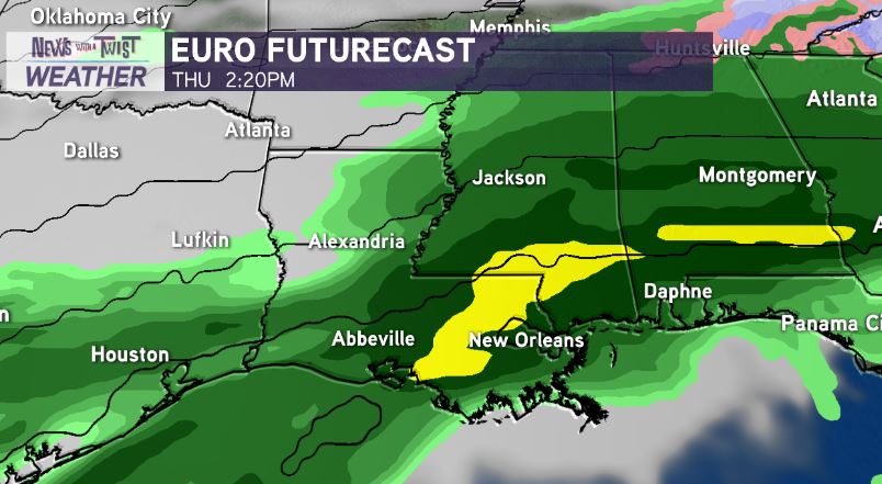
Thursday looks to be the soggiest day of the week with a 70-80% chance for light-moderate showers throughout the day. Here’s the deal though. There’s still a shot that most of the rain pushes south of Metro New Orleans by parade rolling time Thursday evening….
However, it does appear Thursday night parades could be in jeopardy with the risk of a chilly/cold light rain.
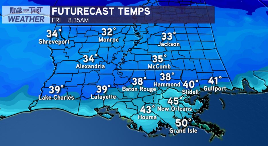
The good news? As the front pushes south…sunshine returns Friday-Saturday-most of Sunday! It will be CHILLY! Low temps Friday morning in the 30s-40s. High temps Friday-Saturday in the upper 50s.