A wave of low pressure is currently moving west through the Gulf of Mexico. As it does so it is bringing moisture into the area. We are going to see batches of rain and storms moving through during the day. This activity will be moving southeast to northeast and could contain locally heavy downpours at times.
This wave is being pushed west due to an area of high pressure draped across parts of the southeast and mid-Atlantic. The pressure gradient between these two pressure areas is causing persistent onshore flow from the east and southeast. Because of this, minor coastal flooding will be possible.
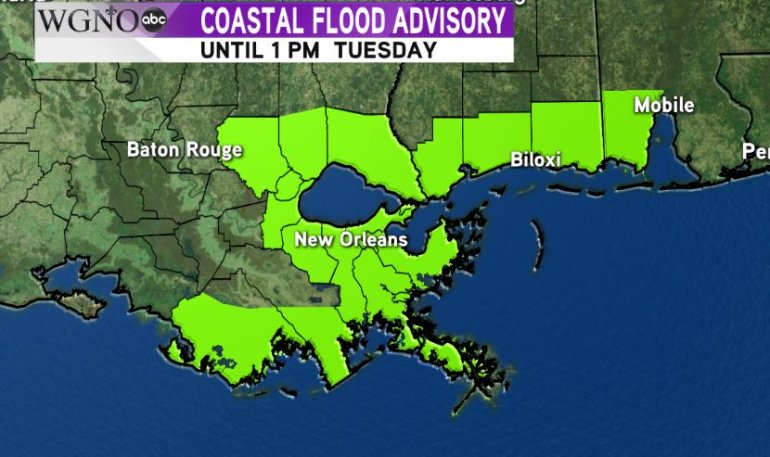 Most of the coastal areas right now are under a Coastal Flood Advisory until 1:00 PM on Tuesday. This means that persistent onshore winds will pile up water along the coast. Tide levels will be higher than normal. This could lead to lowland flooding outside the levee protection system.
By later Tuesday and Wednesday this wave will move west of the area and rain chances will drop.