Temperatures are in the mid 90s across the area Tuesday afternoon with heat index values ranging from 105-110. Take it easy over the next couple of hours! Rain chances will continue to be limited through the afternoon.

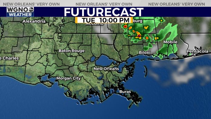
We will be watching the potential of a storm cluster moving in from the northeast late Tuesday and Wednesday, otherwise not much in the way of rain developing. It looks like the north shore and southern Mississippi will have the best chance of seeing rain from that. Latest model runs though keep that activity mostly to our east.
Any storms that develop could still produce locally heavy rainfall amounts and gusty winds. Rain chances start to go back up by Thursday for the second half of the week. That will keep afternoon temperatures cooler as well.
