Temperatures remain chilly across Southeast Louisiana and South Mississippi as the weekend comes to an end. Expect overnight lows to drop into the mid 30s for areas south of Lake Pontchartrain, with locations west and north of the lake seeing the lower 30s.
Heading into the start of the work week, we’ll be watching for showers and possibly a few thunderstorms late Monday afternoon into Monday night. Models show the rain initially moving in between 4 PM and 6 PM, with coverage increasing into the late evening hours.
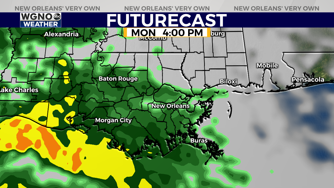
The bulk of the rain will move off to the east by around 2 AM Tuesday, but scattered showers will likely continue through the middle of the morning.
While the threat for severe weather is not zero, it is very low with this system. The main threat with this event will be locally heaving rainfall that may lead to some nuisance street flooding, especially in areas that are low-lying or may have poor drainage.

This wet weather comes ahead of our next front, but this one shouldn’t be as powerful as the most recent cold snap. Temperatures Monday and Tuesday will be slightly below normal with highs in the mid to upper 50s and overnight lows in the lower to mid 40s.